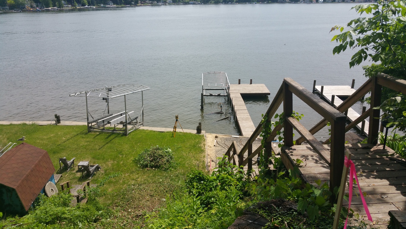
Flood and Elevation Survey
Flood surveys and elevation surveys are two popular services provided by Southwest Survey. These surveys do not expire and are required to ensure that all new buildings adhere to proper flood and elevation requirements. This service is also provided to individuals that have been required to purchase flood insurance at the request of a lender. Elevation certificates for construction properties are available and help determine if a property is located within a designated flood zone.
In order to determine whether a property is located within a flood zone, the property must have flood certification. While some are hesitant to spend the money to acquire such a certification, the U.S. Federal Emergency Management Agency (FEMA) reports that flood insurance savings earned by following its flood guidelines average $90,000 over the span of 10 years.
General Information
Flood zones and elevation requirements are implemented and regulated through various government programs in order to ensure that property owners are protected from the threat of material and financial loss due to flood conditions. Since flood zones can change, it is important to fully understand FEMA guidelines and current flood maps.
Need an Estimate?
Flood Zone Types
There are 6 different types of flood zones and several subclasses under each:
- Zone A properties are defined as Special Flood Hazard Areas and are required by lenders to have flood insurance.
- Zone A is also broken down into subclasses AE, AH, AO, and A1-A99.
- Zone V properties are defined as Coastal Flood Hazard Areas and are also required to purchase flood insurance.
- Zone V also has subclasses VE and V1-V99.
- Zone C properties are characterized as areas with minimal chance of flooding.
- Zone B properties are areas where flooding may occur once in every 500 years.
- Zone D areas have not been studied enough to be properly classified.
- Zone X areas are a recent addition to the official zoning guide. Properties in Zone X are classified as either Zone B or Zone C. This process also helps minimize confusion when handling flood insurance.
Common Terms
To help our customers understand our process, here is a list of common terms to know when talking about flood and elevation surveys:
- Base Flood: Floods with a 1% chance of occurring in any particular year.
- Base Flood Elevation (BFE): The measurement of how high flood wateris expected to rise during a base flood.
- Flood Insurance Rate Map (FIRM): A specific map made and provided by FEMA that shows BFEs, potential flood risk, and active flood risk zones.
- Pre-FIRM: Any buildings and structures that were constructed before the area’s first FIRM.
- Post-FIRM Construction: Any structure that was either built or substantially improved on or after December 31st, 1974.
- Special Flood Hazard Area: Also known as a flood plain, these areas are at high-risk for floods.
Additional Sources: FEMA ELEVATION CERTIFICATE