
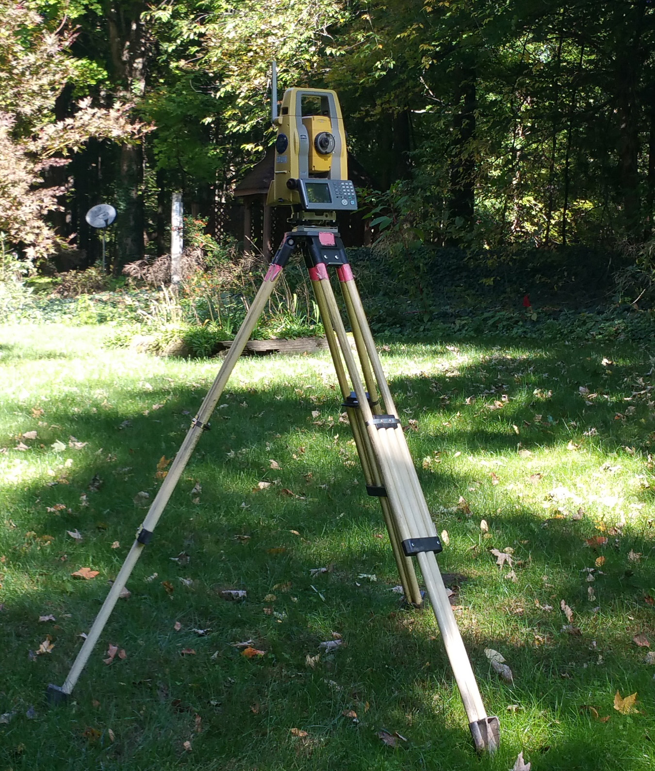
Land Survey
Boundary Service
Property Line
The property line survey is provided when new descriptions of property lines are needed, either due to a land division or property line adjustment, or to clarify an ambiguous, old description.
Topographical Survey
- Buildings
- Roads
- Various utilities
- Trees
- Ponds
- Other potential site features
Mortgage Inspection
A mortgage inspection survey is prepared for either a lender or purchaser in order to locate any major improvements on the property and show their approximate relationship to the property lines. A map is prepared showing the boundary of the property to be purchased, the major improvements, and the legal description of the property.
Construction Staking
The construction staking surveying service is provided for the construction of buildings, roads, parking lots, storm sewers, sanitary sewers, and other utilities.
Parcel Splits/Divisions
A land division survey is needed when a smaller parcel is being split out of a larger parcel or in some instances when two property owners want to adjust boundary lines between their properties. A Sketch of Proposed Land Division map will be provided showing the proposed division and remainder of the parent parcel along with new legal descriptions for transfer of title.
Certified Survey
In order to make a survey official in public record, a certified survey must be created. This survey requires additional information to be gathered by the surveying team and clearly shown on the certified drawing. The drawings can then be recorded and used throughout the property’s history.